Linking Ground and Space Systems To Autonomously Assess Wildfires
A Case Study with The Moore Foundation, Moraga-Orinda Fire District, and UC Berkeley
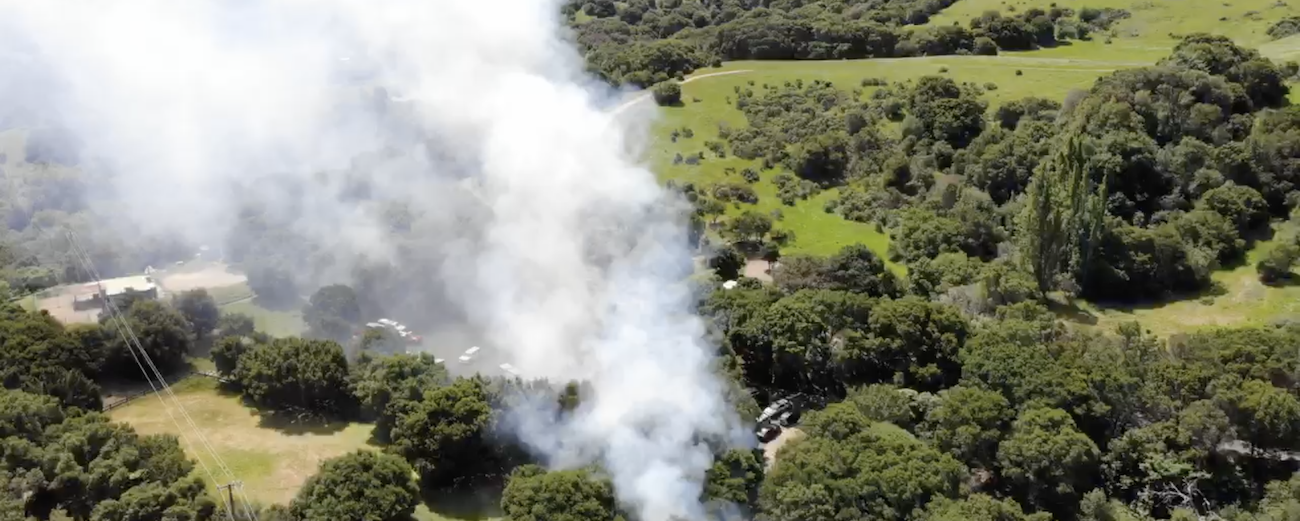
Driven by increasing temperatures and more frequent drought conditions, climate change is accelerating the risk and severity of wildfires across the globe. New techniques in remote sensing and fire management have the potential to offer tools to provide dynamic intelligence to aid in key decision-making for first responders.
Learn how Planet worked with the Moore Foundation, the Moraga-Orinda Fire District, and UC Berkeley build an automated system that can rapidly gather timely, high-resolution satellite imagery to capture images of fires.
Learn how Planet worked with the Moore Foundation, the Moraga-Orinda Fire District, and UC Berkeley build an automated system that can rapidly gather timely, high-resolution satellite imagery to capture images of fires.