Pre Form Header

Pre Form Header
REGISTRATION
Whats this?
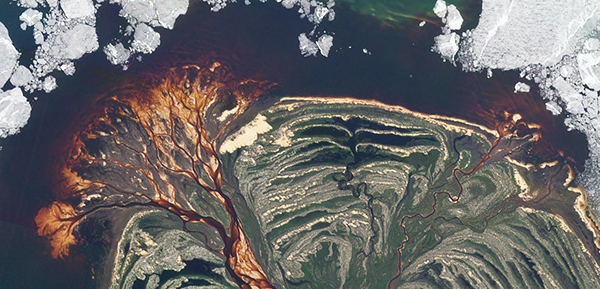
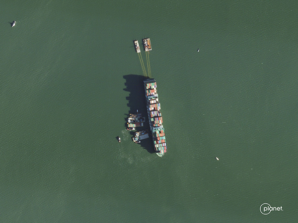
Join Skytec and Planet for a 30-minute webinar to explore how agencies are using satellite imagery and GeoAI to monitor and manage every wetland in the state.
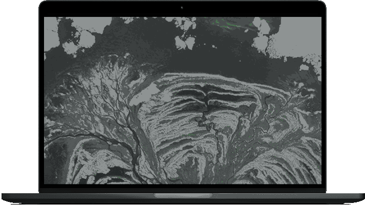
This proactive, scalable technology helps agencies protect critical natural resources right inside the GIS software their team already uses.
In this session, we will cover:
What’s changed in wetland protection: Learn how recent policy changes and regulatory shifts impact wetland management, and why traditional monitoring methods no longer meet compliance demands.
How to protect wetlands during the permitting process: Learn how predictive wetland modeling flags likely wetlands during development review, so problems surface before a project breaks ground.
How to check up on your state’s wetlands from your desktop: See how the technology alerts agencies of change detected across any wetland in the state, with disturbances priority-ranked in order of severity.
Live Demo: Watch a satellite-based change detection alert become a field verification assignment in just a few clicks.
You’ll also have the opportunity to participate in a live Q&A to discuss practical integration, workflows, and access.
Can’t make it to the live event? Register anyway! We’ll send the full recording directly to your inbox.
Andrew Carroll
Chief Technology Officer
Skytec

Matthew Wall
State & Local Government Account Executive
Planet

Aliny A. dos Reis
PhD in Forest Engineering
Postdoctoral Researcher
Aliny A. dos Reis
PhD in Forest Engineering
Postdoctoral Researcher
Aliny A. dos Reis
PhD in Forest Engineering
Postdoctoral Researcher
Aliny A. dos Reis
PhD in Forest Engineering
Postdoctoral Researcher
Aliny A. dos Reis
PhD in Forest Engineering
Postdoctoral Researcher


Os sistemas de integração lavoura-pecuária

Os sistemas de integração lavoura-pecuária
Header goes here
Body text goes here
Header goes here
Body text goes here
Header goes here
Body text goes here
© Planet Labs PBC All rights reserved.
| Privacy Policy |
Terms of
Use | Art
at Planet
