Protecting Public Lands With Satellite Imagery
A Case Study With the New Mexico State Land Office
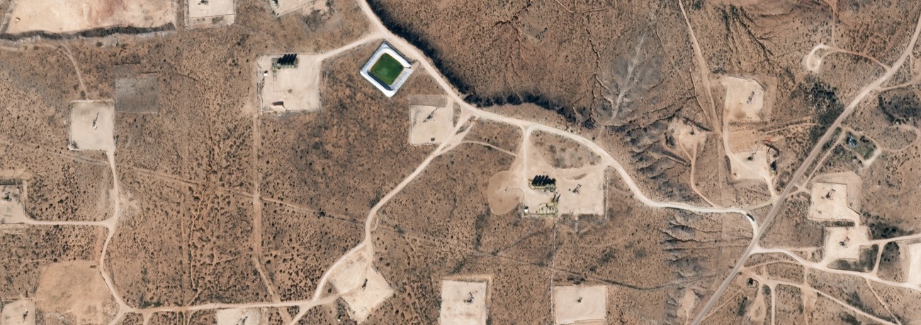
The New Mexico State Land Office (NMSLO) utilized Planet’s daily Earth imagery to
achieve greater compliance, protect natural resources, and generate revenue for the vital
public institutions that they support.
NMSLO is constitutionally mandated to preserve the health of its public lands, while also promoting economic development across the state. The office manages 9 million acres of surface land and 13 million acres of subsurface minerals, which are leased to private companies and individuals to generate revenue for New Mexico public schools, hospitals, colleges, and other public institutions.