Protecting Public Lands with High-Frequency Satellite Imagery
Joint Webinar with the New Mexico State Land Office
The increasing availability and affordability of satellite data are empowering state agencies to get a richer, up-to-date understanding of their lands and communities. As the adoption of satellite imagery grows, so do the innovative, novel use cases that can serve as a model for others. In this webinar, you’ll learn how the New Mexico State Land Office leveraged Planet’s high-frequency satellite imagery to monitor both permitted and unpermitted use of State Trust Lands, leading to an increase in new leases and revenue for vital public institutions.
Join us to learn more about:
Join us to learn more about:
- The challenges New Mexico State Land Office face when overseeing over 13 million acres of land
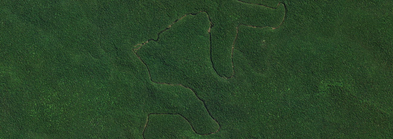
- How Planet imagery provided an early signal of trespasses, violations, and environmental hazards
- Where New Mexico State Land Office sees future opportunities & novel applications for satellite imagery