Forestry How-To Webinar Series
Timber Harvesting
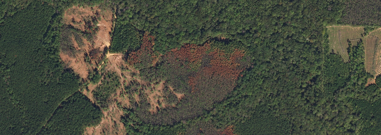
Efficiently digitizing boundaries of harvested timber areas with Planet data
This two-part short webinar series demonstrates two key use cases that Planet data is used for.
In this first video we will focus on digitizing boundaries of cutblocks in commercial timber operations.
- Leveraging Planet’s Surface Reflectance Basemaps and Skysat imagery
- Ingesting this data into Esri’s ArcGIS platform locally and using Planet’s Esri plug-in
- Executing common raster operations and vegetation indices to extract additional insight