Planet Satellite Imagery and Services for the Australian Government
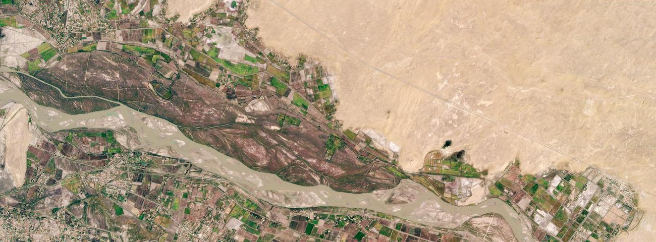
Planet’s data is already helping governments around the world improve their security and surveillance capabilities, in addition to supporting environmentally responsible and sustainable economies. Australia has over 8 million sq km of land to manage natural resources, with an extended and a storied history of droughts, floods, and fires. Historically, the gravity of these events has been poorly understood because the country has not been able to adequately track, observe, and record them over time.
In this white paper, you’ll learn how near-daily satellite imagery can support Australian Government’s efforts in managing resources and proactively planning for natural disasters. This includes, but is not limited to, bushfire, drought and flood management, environmental monitoring, maritime domain awareness, and resource management for energy and mining.