|
|
|
|
|
|
|
|
|
|
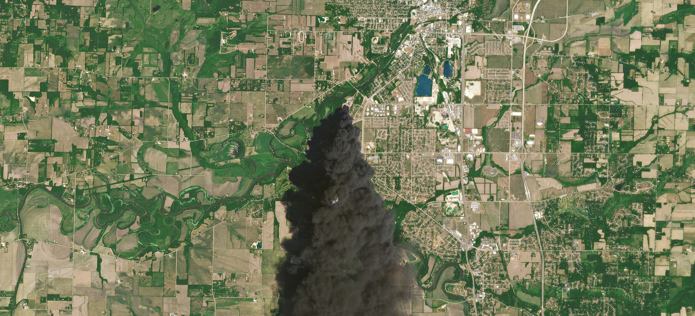 |
PlanetScope • Chemical fire, Rockton, IL, USA • June 14, 2016 |
In this week’s issue:
Having trouble viewing images? Then read this issue on Medium! |
|
|
|
|
FEATURE STORYCivil Gov
Perhaps humans’ greatest superpower is the ability to craft tools that augment our abilities: calculators for instant arithmetic, the Internet for global communication, and Croc sandals for seamless mobility through different terrains. We’re constantly creating ways to do more with less. And in the 21st century, some of these performance-enhancing tools are so effective it’s somewhat shocking we do any work at all.
Satellites enhance our ability to survey and collect data across every coordinate of the globe. They extend our eyesight while rapidly reducing the time and cost it takes to place eyes on the ground. For small government teams tasked with monitoring large areas of land within a tight budget, satellite data can boost their capabilities to a level comparable to far larger agencies. So this week we put together some of the most remarkable ways that civil governments are solving large problems with tactical uses of satellite data.
|
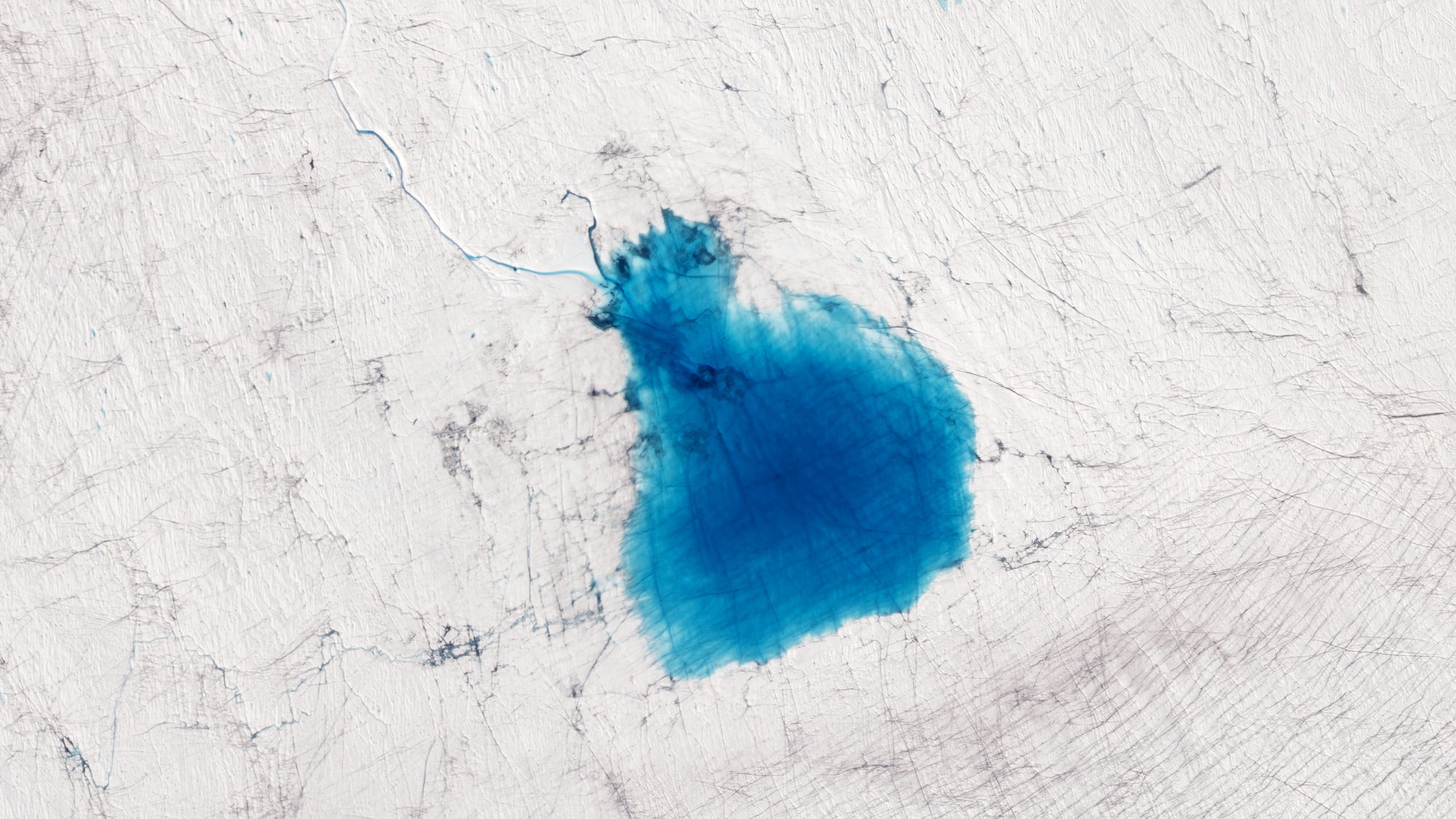 |
SkySat • Lake Niels, Greenland • July 29, 2019 |
Climate change is exacerbating conditions in the already rainy Great Britain. Like the world’s worst magician, severe rain is making clean water disappear and replacing it with sewage. Last year, months of rain poured down in hours. The deluge wreaked havoc on infrastructure and excrement-filled water flooded streets. Ordnance Survey, Great Britain’s geospatial mapping agency, is using satellite data of organic matter in sewage overspills to create early warning systems and risk predictions for the isle. |
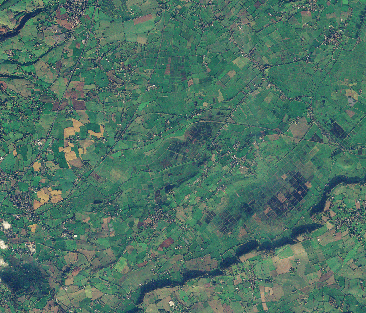 |
PlanetScope • Flooding Northmoor Green, Somerset, England • December 7, 2022 - January 13, 2023 |
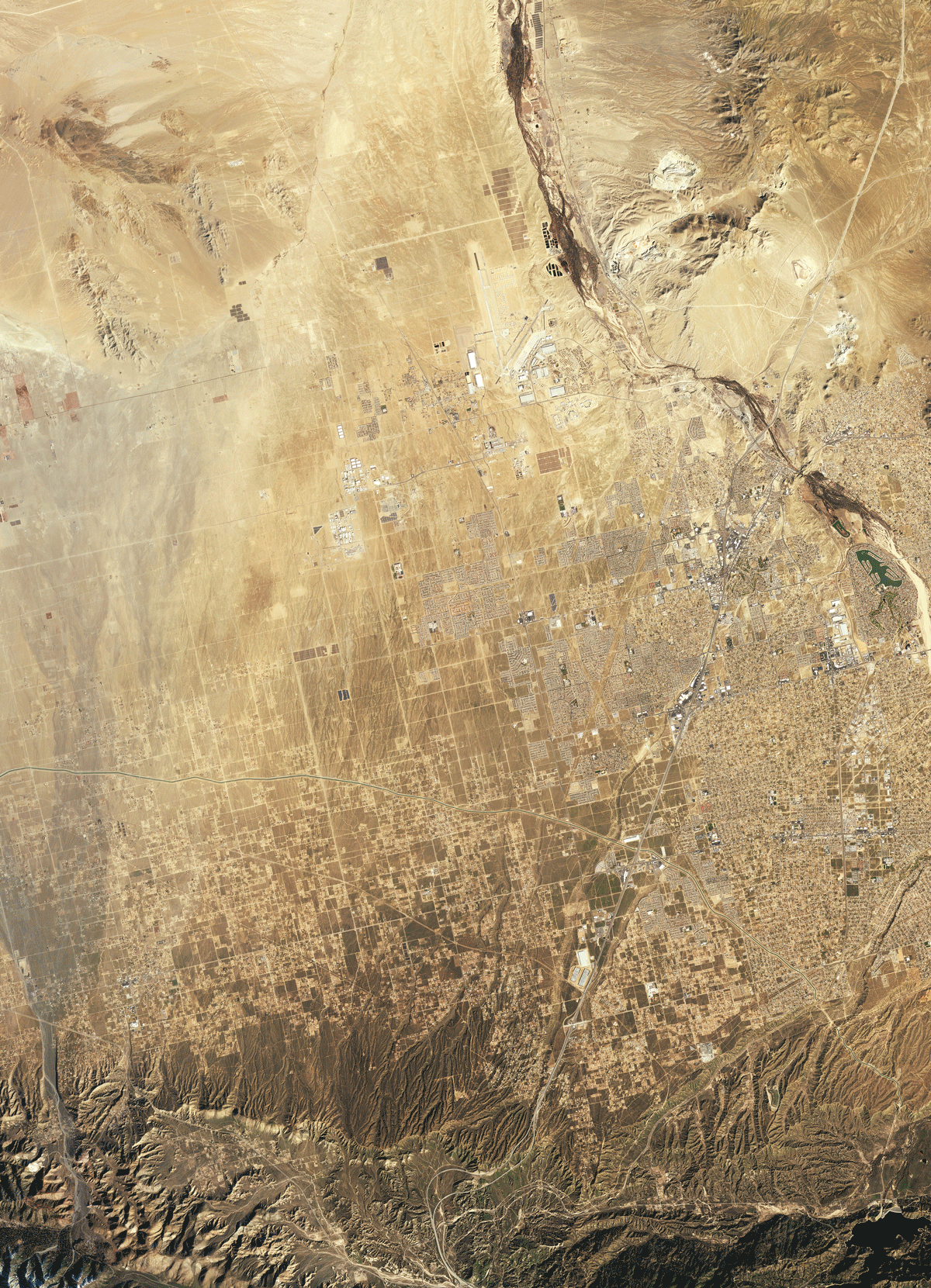
Alaska is easily the largest US state by area but has the 3rd smallest population. Those tasked with keeping tabs on its 660,000 sq mi (1.72 million sq ki) area have to navigate its massive mountain ranges, millions of lakes, and tens of thousands of glaciers. Government employees used to have to take small aircraft to the state’s 50 weather stations to manually check whether they were snow-free. Now, they use daily satellite images to check for them—saving time, money, and what we imagine to be terrifying flights. |
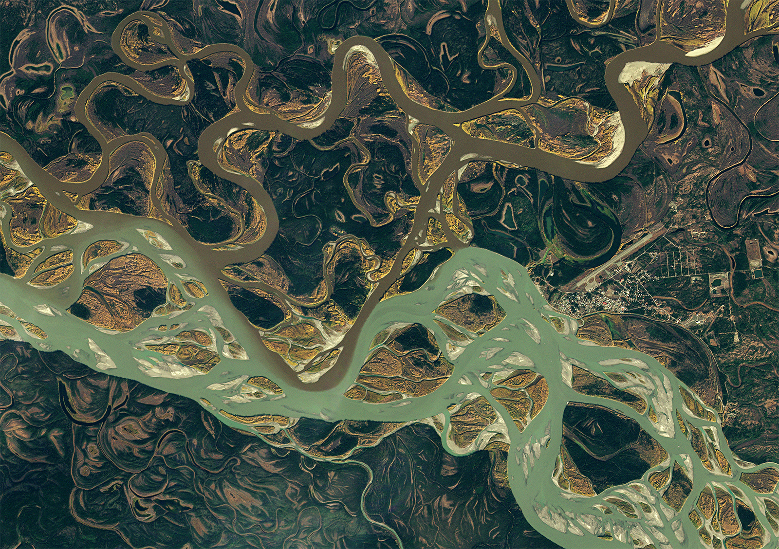 |
PlanetScope • Two rivers converge at Fort Yukon, Alaska, USA • September 21, 2022 |
California’s Humboldt County leverages our aerial perspective to identify unpermitted cannabis facilities. This joint operation enables the county to work around the area’s remote forested areas and weed out the illegal cannabis “hoop houses” from legal facilities. |
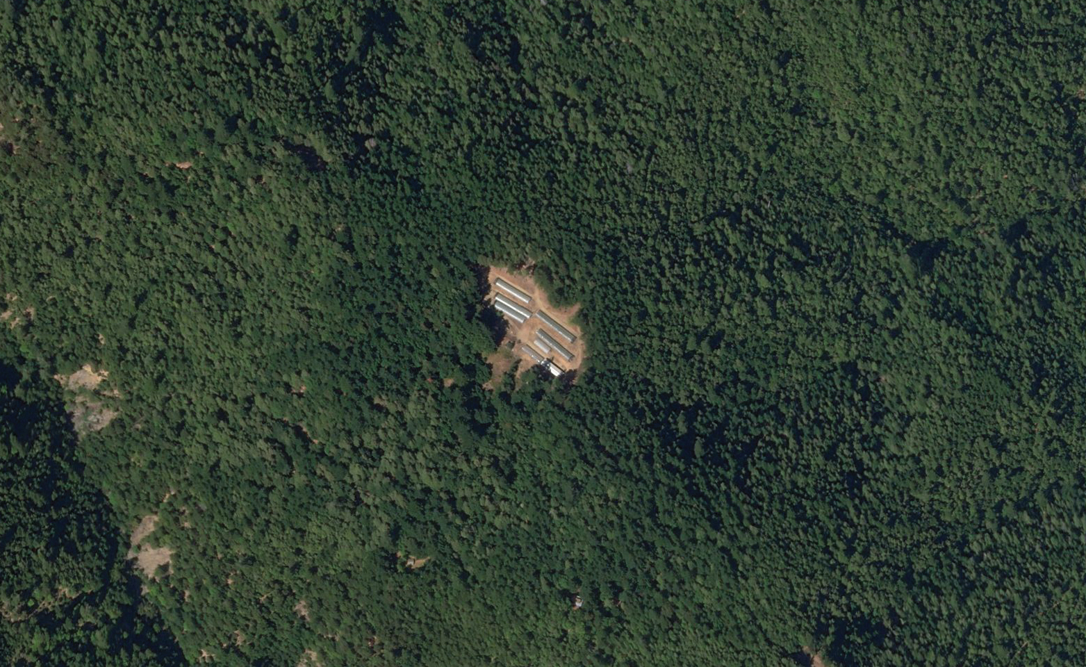 |
SkySat • Humboldt County, CA, USA • September 14, 2018 |
Natural disasters are often sudden and unavoidable. But organizations like the Federal Emergency Management Agency (FEMA) are responsible for stepping in as quickly as possible. The faster they’re on the scene, the more lives they can potentially save and the more negative impacts may be mitigated. Satellite images of areas hit by hurricanes or tornadoes help FEMA generate damage assessments to triage relief efforts. And time-series made after the fact can help them prepare for the next impact. |
 |
PlanetScope • 80-mile tornado path, Greensboro, AL, USA • March 8 - 29, 2021 |
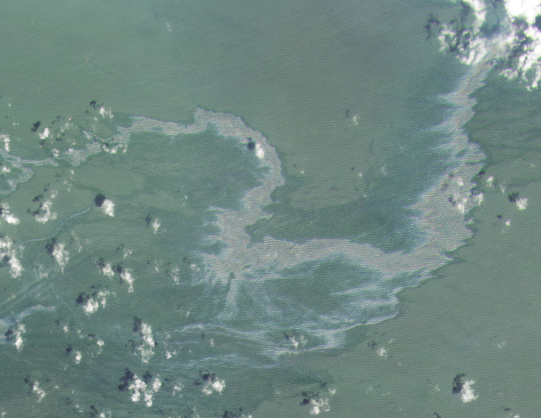
Like a shimmering mirage, some things look different from afar. The only way to really tell what it is is to get close, a practice NOAA knows well. Employees at NOAA are using high resolution satellites to monitor ocean phenomena from marine debris to whales. They now survey 13,500 sq mi (35,000 sq km) of the Gulf of Mexico. And they’re able to track individual vessels and oil spills with the increased resolution. |
 |
|
PlanetScope • Oil Spill, Gulf of Mexico near Louisiana, USA • September 2, 2021 |
Perhaps the most ambitious of these initiatives is the NICFI Satellite Data Program, which delivers data from multiple providers to combat tropical deforestation around the world. In the years since it launched, a global constellation of civil governments and agencies have connected through the platform. Together they’re using the available satellite data to identify deforestation, intervene on illegal activity, map carbon stocks, generate environmental impact reports, and preserve Earth’s biodiverse belt. |
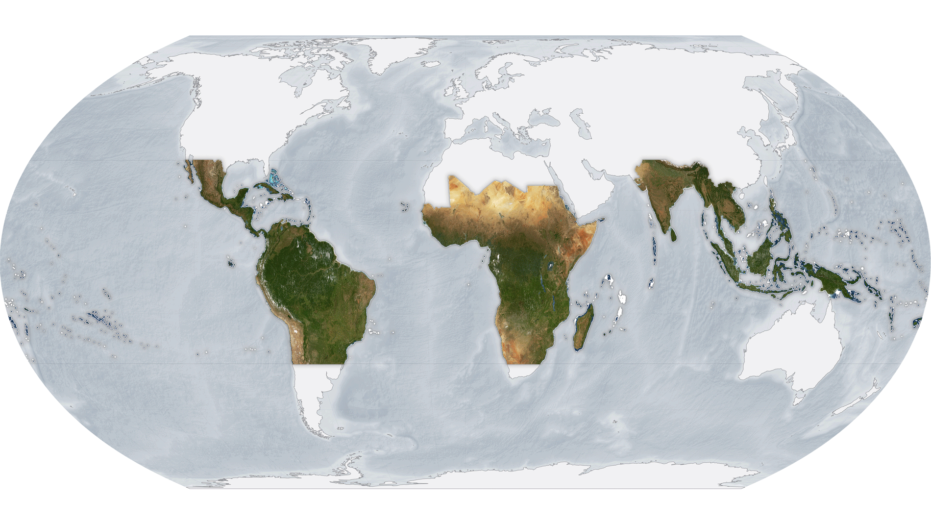 |
NICFI Tropics Basemaps • Changes over the course of 2021 |
Civil governments equipped with this satellite-data-exoskeleton can save time and money, but more importantly, can gain a certain control over their jurisdiction that would otherwise be unachievable. It places the power in their hands to make decisions on real-time information and expand the reach of their operation. All in all, it enables small teams to act on big dreams. |
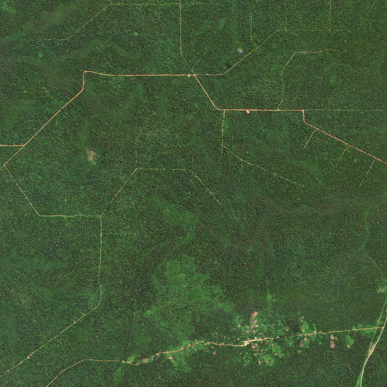 |
SkySat • Deforestation, Congo • July 15, 2019 |
|
|
|
|
|
|
|
|
|
|
|
Change of the WeekSnoCal
For the past week, another weather system is delivering the icier follow-up of a 1-2 punch to California. Weeks ago the state was inundated with torrential rain, and now blizzards are dropping so much snow that the snowpack is at 181% of its normal level for this time of year. What’s thrown people for a loop, however, is that snow reached part of the Los Angeles area, turning the mountains above Hollywood a stark white. We caught some of the snowfall just to the northeast of the city. |
 |
 |
SkySat • Lancaster, California, USA • February 26, 2023 |
 |
PlanetScope • Victorville, California, USA • February 11 - 26, 2023 |
|
|
|
|
|
What in the WorldIndustry Tapestry
We’ve been puzzling over this coastal industrial area north of Binzhou for a few days, and not just because it looks like a literal puzzle. It appears the pools froze over and the windswept ice was pushed into the southeast corner. But we’re not sure if the pools are for salt production, mineral extraction, aquaculture, agriculture, a mixture of all, or something else entirely. Have any insight? Reach out and let us know! |
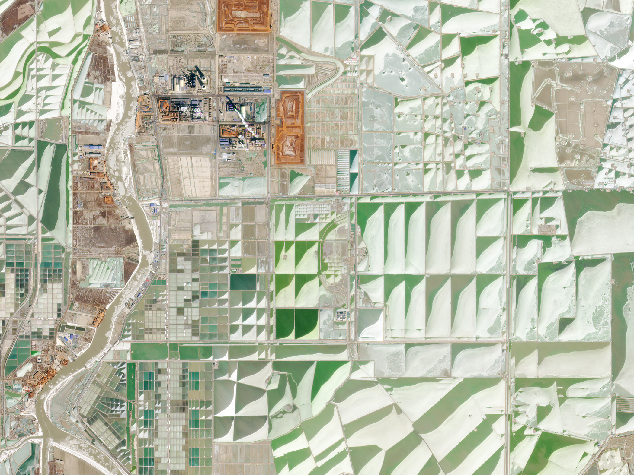 |
PlanetScope • Icy ponds, Shandong Province, China • January 24, 2023 |
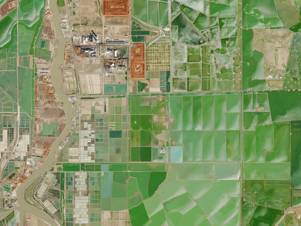 |
PlanetScope • Icy ponds, Shandong Province, China • January 9 - February 15, 2023 |
|
|
|
|
|
Weekly Revisit
Last week we waded through the wonders of wetlands and explored their unique value to both human and animal populations. So check it out in case you missed it and read more stories on the full archive if you’re extra curious. |
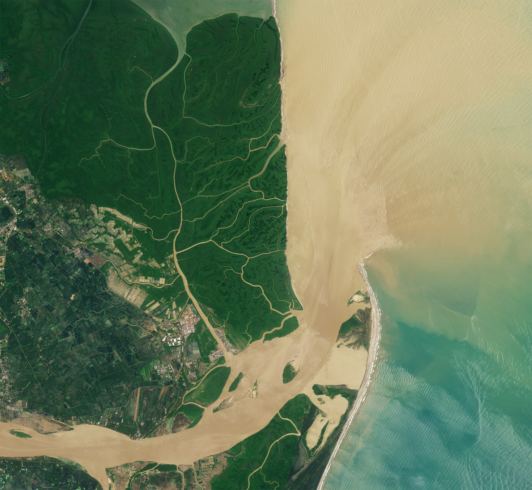 |
PlanetScope • Coringa Wildlife Sanctuary, India • August 25, 2022 |
|
|
|
|